Light Pollution Map
Jurij Stare
Rating
4.2
Ratings
48
Price
4.99
Best rank
#18
Rank history
Top Paid, Navigation, United Kingdom. Last 30 days.
Chart positions
| Rank | Chart | As of |
|---|---|---|
| 18 | Top Paid, Navigation, United Kingdom | Nov 18, 2026 |
| 24 | Top Paid, Navigation, United States | Nov 18, 2026 |
About Light Pollution Map
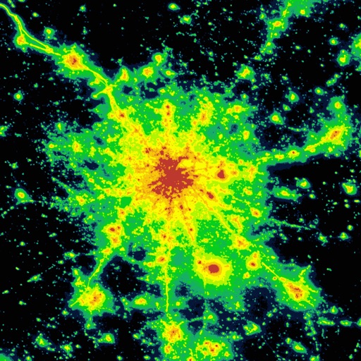
The map displays VIIRS/World Atlas/Clouds/Aurora/IAU observatories and the user SQM measurements. The primary use is to show VIIRS/DMSP data in a friendly manner, but over time it also included some other interesting overlays that concern light pollution like SQM/SQC, World Atlas 2015 zenith brightness, clouds, aurora and IAU observatories. If you have a permanent SQM reader installed you can add it to the map by sending me an e-mail. Please send comments and requests for new features via email (look under help) Functionalities: - VIIRS, Sky Brightness, World Atlas 2015, Cloud coverage and Aurora forecast layers - VIIRS and Sky Brightness layers can be displayed in color blind friendly colors - Road & Satellite base maps - Cloud animation for the last 12 hours - Get detail radiance and SQM values from layers at a click. For Sky brightness/World Atlas 2015, you also get Bortle class estimation. - SQM, SQM-L, SQC, SQM-LE, SQM readings submitted by users - International dark sky parks overlay - Submit your own SQM (L) readings - Observatories layer - Save your favorite locations - Distance measurement tool with azimuth angle report
Read more
- All-sky view of light pollution with real horizon - Offline mode (Sky brightness map and a base map are saved to your device, so it will be displayed when you are offline)